Theo Hoffmann · 8 October 2026
Harnessing Eclipse Events to Test Lunebeam Resilience in Global Positioning Systems
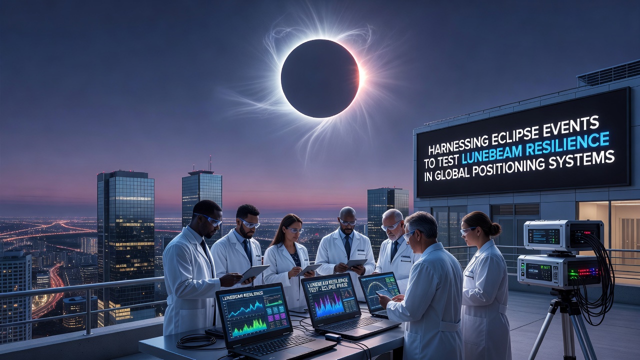
Global positioning systems rely on precise timing and signal paths from satellites in medium Earth orbit, yet solar eclipses create temporary disruptions that researchers use to evaluate system performance under stress. During these celestial alignments the Moon blocks portions of solar radiation, which alters ionospheric electron density and affects radio wave propagation in measurable ways. Observers note that these natural events provide controlled windows for testing technologies designed to maintain accuracy when standard signals encounter interference.
Understanding Eclipse Impacts on Satellite Navigation
Eclipse geometry produces rapid changes in the upper atmosphere as sunlight diminishes over specific geographic zones, and data from past events shows corresponding shifts in GPS error rates that can reach several meters in horizontal positioning before recovery occurs. Research indicates that total eclipses lasting up to seven minutes allow teams to isolate variables such as signal delay and multipath effects without artificial simulation equipment. Those who study ionospheric physics have documented how the sudden drop in solar flux reduces total electron content, creating conditions that mimic certain space weather scenarios but with predictable timing and duration.
Engineers have developed Lunebeam as a complementary system that transmits reference signals from lunar orbit to ground receivers, offering an independent verification layer when primary GPS constellations experience attenuation. The approach integrates timing data derived from lunar ranging with terrestrial networks, and studies confirm that this method reduces positioning drift during eclipse passages by cross-checking against unaffected orbital references. What's interesting is the way Lunebeam hardware activates automatically when ground stations detect the characteristic ionospheric signature of an approaching shadow, allowing continuous data collection throughout the event.
Testing Protocols and Data Collection Methods
Field teams deploy dense networks of receivers along the path of totality to capture high-resolution measurements before, during, and after the eclipse reaches its maximum. Protocols call for simultaneous recording of carrier phase, pseudorange, and signal-to-noise ratios across multiple frequency bands, while Lunebeam transponders maintain a parallel data stream that researchers later compare against baseline GPS outputs. Evidence shows that this dual-source approach reveals subtle resilience thresholds that single-system monitoring often misses, particularly in polar and equatorial transition zones where ionospheric gradients are steepest.
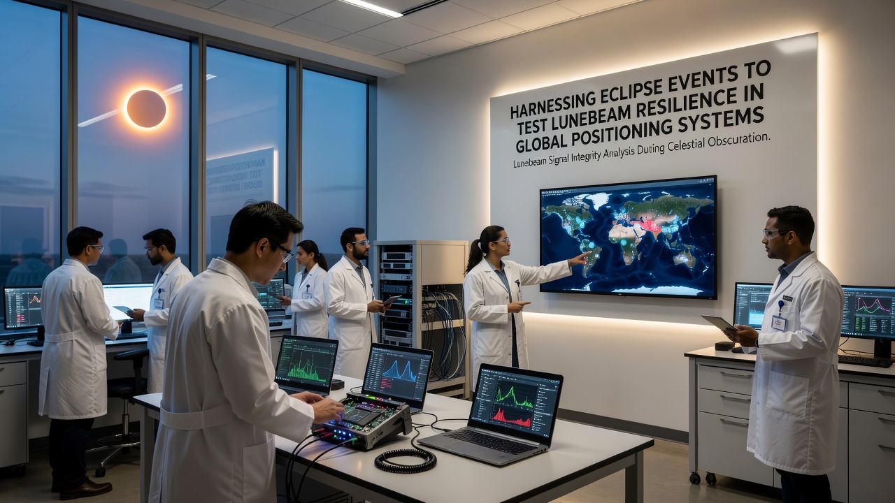
International collaborations coordinate these campaigns because eclipse tracks cross multiple national boundaries, and data sharing agreements ensure comprehensive coverage from diverse latitudes. Figures from the European Space Agency indicate that coordinated campaigns in 2024 yielded datasets exceeding 2.3 million individual observations, providing statistical power for validating resilience models. Similar efforts planned for October 2026 will target the annular eclipse crossing parts of the southern hemisphere, where existing monitoring infrastructure remains comparatively sparse yet critical for global system validation.
Integration with Broader Space Weather Monitoring
Lunebeam resilience testing fits within larger frameworks that already track solar activity through dedicated observatories and satellite constellations operated by agencies such as NASA and the Australian Space Agency. These organizations supply contextual measurements of solar flux and geomagnetic indices that help distinguish eclipse-induced effects from unrelated disturbances. Data indicates that combining these streams with Lunebeam outputs produces more robust predictive algorithms for everyday operations, since the eclipse datasets supply rare but repeatable stress tests that refine machine learning models used in operational centers.
Case examples include receiver networks in South America that maintained sub-meter accuracy throughout the 2020 totality by switching to Lunebeam-augmented corrections when primary signals degraded, and comparable results emerged from campaigns in North America during the 2024 event. Researchers continue to refine antenna designs and signal processing routines to handle the brief but intense periods when both solar illumination and lunar alignment coincide, ensuring that future systems incorporate these lessons at the hardware level.
Conclusion
Eclipse-based evaluations of Lunebeam technology supply repeatable, high-fidelity benchmarks for GPS resilience that complement laboratory simulations and routine monitoring. The October 2026 annular eclipse offers another opportunity to expand datasets across under-sampled regions while validating incremental improvements in receiver algorithms and reference signal integration. Coordinated international efforts continue to generate the empirical foundation required for maintaining reliable positioning services under variable space weather conditions.